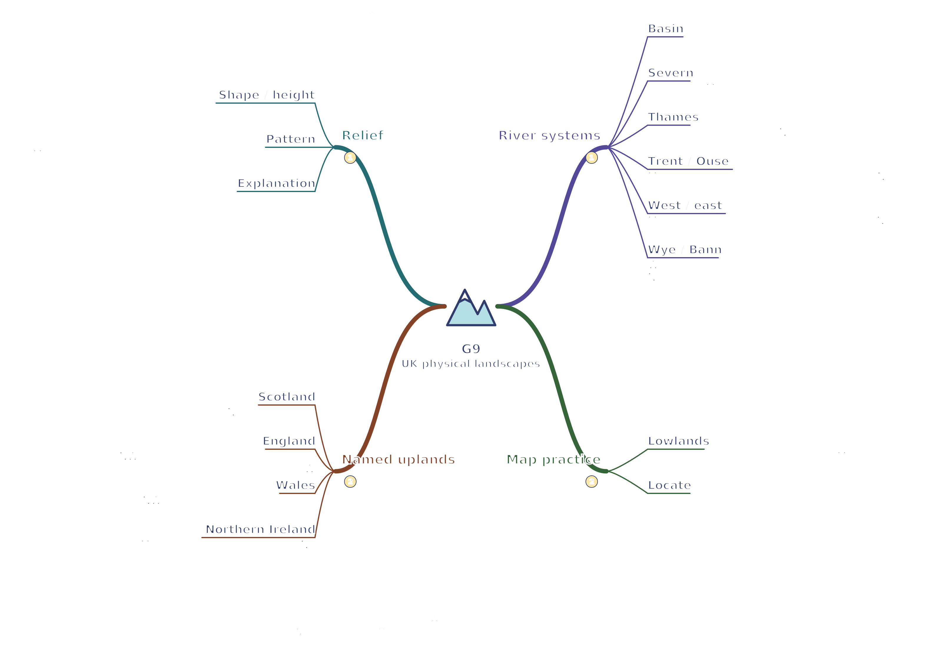
Where the UK's major uplands, lowlands and river systems are found.
Notes and quizzes readyCore topic
Revise the key ideas
UK relief and rock types
Relief means the shape and height of the land. Uplands have higher elevations and often steep slopes; lowlands are lower and commonly flatter, although each region contains local variation.
Many major upland areas are in northern and western Britain. Major lowlands occur in the south and east, but the UK is not divided by a single sharp boundary.
Resistant rocks often remain as uplands because they wear away more slowly. Rock type, geological structure, uplift, glaciation and river erosion together shape relief.
The Scottish Highlands are in northern and western Scotland. The Grampian Mountains include Ben Nevis, Britain's highest summit.
The Southern Uplands lie in southern Scotland. The Lake District is in northwest England, and the Pennines run broadly north–south through northern England.
Eryri (Snowdonia) is in northwest Wales, and Bannau Brycheiniog (Brecon Beacons) is in south Wales. Dartmoor is an upland area in southwest England.
Northern Ireland has uplands including the Mourne Mountains in the southeast. The Antrim Plateau is in the northeast.
Lowland examples include the East Anglian Fens, the London Basin, the Vale of York and parts of the Midlands. Fertile soils, easier transport and flatter land can favour farming and settlement.
Major river systems
A drainage basin is the area drained by a river and its tributaries. A watershed is the high ground separating neighbouring drainage basins.A river drainage basin. Tributaries join the main channel. The arrow shows downstream flow towards the outlet; this is not a map of a named river.
The Severn rises in the Cambrian Mountains of Wales and flows through western England towards the Bristol Channel. It is the UK's longest river.
The Thames flows from the Cotswolds through southern England and London to the North Sea. Its basin includes densely populated areas.
The Trent flows through the Midlands and joins the Ouse at the Humber estuary, which opens into the North Sea. The Yorkshire Ouse drains parts of northern England.
The Mersey reaches the Irish Sea through its estuary near Liverpool. The Tyne in northeast England reaches the North Sea near Newcastle.
The Clyde flows west through Glasgow to the Firth of Clyde. The Tay flows through central Scotland towards the North Sea and has a large average discharge.
The Wye runs through Wales and along part of the England–Wales border towards the Severn estuary. The Bann drains parts of Northern Ireland, including Lough Neagh, towards the north coast.
Use an atlas or map to practise locating uplands, lowlands, river sources, directions of flow and estuaries. Give relative locations clearly: for example, the Lake District is west of the Pennines.
Test yourself
50 questions · Random sets of 10. These quick checks support revision; practise longer explanations and justified judgements too.
Watch G9 · UK physical landscapes
Revise uk physical landscapes with this narrated video. Use the player controls to pause, seek, adjust the volume or mute. Turn English captions on or off using the captions menu.
 Mr Kidman's Classroom